Add Listing
Sign In


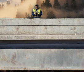
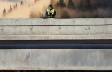
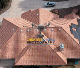
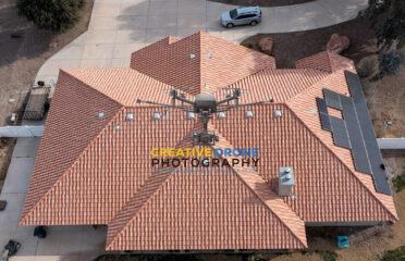
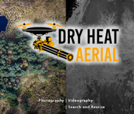
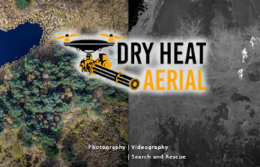
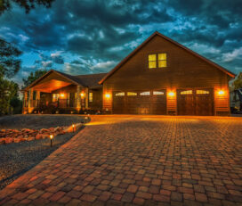
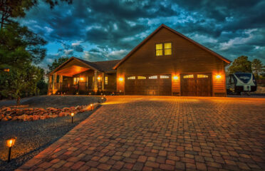
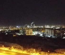
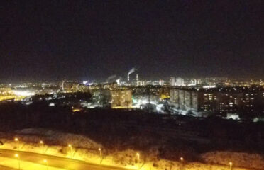
Providing captivating drone photography and video footage from all angles! Specializing in Aerial and Ground Real Estate Photography, and now introducing Photogrammetry: Digital Mapping and 3D Modeling!
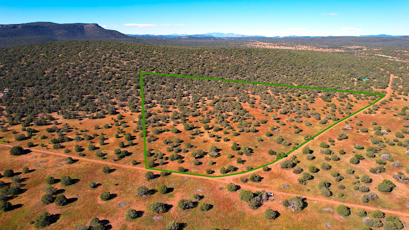
CONSTRUCTION: Need to find out elevation differences on a plot of land or construction site? Easily done with digital mapping! Would you like to track the progress of a major construction project? We can provide 3D models of the exact project for you to inspect in detail , no matter the acreage!
FORESTRY: If you are apart of any forestry industry you MUST contact us and discover the tools we provide! For starters, we can model the removal of timber from a plot with a digital 3d map. This and more is available through Misty Mountain Drones!
April, 2025
Tuesday
6:00 pm - 6:30 pm
6:30 pm - 7:00 pm
7:00 pm - 7:30 pm
7:30 pm - 8:00 pm
8:00 pm - 8:30 pm
8:30 pm - 9:00 pm
9:00 pm - 9:30 pm
9:30 pm - 10:00 pm
10:00 pm - 10:30 pm
10:30 pm - 11:00 pm
11:00 pm - 11:30 pm
11:30 pm - 12:00 am
August 26,2019
Awesome Job!
We have received your appointment and will send you a confirmation to your provided email upon approval.
 Own or work here?
Claim Now!
Claim Now!
Own or work here?
Claim Now!
Claim Now!

/ Per Listing
Lorem ipsum dolor sit amet, lorem sit.
/ Per Listing
Lorem ipsum dolor sit amet, lorem sit.
Claim request is processed after verification..