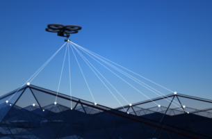
Drone Mapping in Agriculture: Revolutionizing Modern Farming Introduction The agricultural industry is undergoing a technological revolution, with drones playing a significant role in enhancing efficiency, productivity, and sustainability. Drone mapping has emerged as a critical tool for modern farming, enabling farmers to collect detailed data, monitor crops, and optimize resource management. In this article, we […]
Read MoreHow Drones Are Used for Mapping Drones have fundamentally transformed the field of mapping by providing high-resolution, cost-effective, and highly efficient solutions across various industries. Unlike traditional mapping methods, which often require extensive time, manpower, and expensive equipment, drones offer a more accessible and technologically advanced alternative. By seamlessly integrating advanced imaging technology, GPS, and […]
Read More


