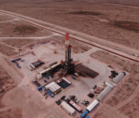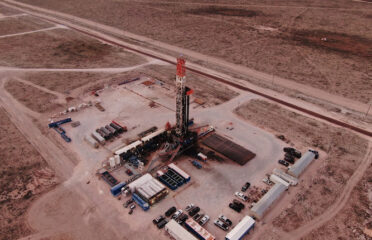
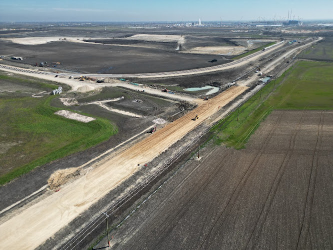


Real-time aerial data capture for commercial real estate and construction projects, inspection, mapping, and flight missions to meet specific needs.
June, 2025
Saturday
9:00 am - 9:30 am
9:30 am - 10:00 am
10:00 am - 10:30 am
10:30 am - 11:00 am
11:00 am - 11:30 am
11:30 am - 12:00 pm
12:00 pm - 12:30 pm
12:30 pm - 1:00 pm
1:00 pm - 1:30 pm
1:30 pm - 2:00 pm
2:00 pm - 2:30 pm
2:30 pm - 3:00 pm
August 26,2019
Awesome Job!
We have received your appointment and will send you a confirmation to your provided email upon approval.
 Own or work here?
Claim Now!
Claim Now!
Own or work here?
Claim Now!
Claim Now!

/ Per Listing
Lorem ipsum dolor sit amet, lorem sit.
/ Per Listing
Lorem ipsum dolor sit amet, lorem sit.
Claim request is processed after verification..